Research Projects
Harlem Road
Site Location and Purpose
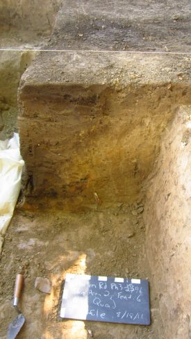
[Top right image: a side view of a Late-to-Transitional Archaic fire pit, found rougly 80cm deep]
The Renaissance House site was identified by UB Archaeological Survey in 1995. Necessitated by the widening and realignment of Harlem Road, and the replacement of the bridge over the Buffalo River, the New York State Department of Transportation contracted with UB Archaeological Survey to conduct survey and subsequent mitigation work within the project area.
In compliance with New York State regulations the Phase I survey indicated that there was evidence of pre-Contact occupation of this landscape, which was expected due to its close proximity to the confluence of the Buffalo Creek and Cayuga Creek. Over the course of several decades, as the project was refined, Archaeological Survey defined the site in Phase II study, and finally mitigated the impact of the road improvement in 2016.
Methods
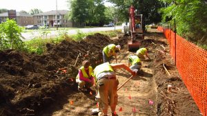
In July and August of 2016, a team of archaeologist excavated almost 70 test units by hand. After the test units were excavated seven trenches were dug mechanically. These larger openings revealed several features that contained materials suitable for Radio-carbon (C14) dating and prodigious amounts of pre-Contact artifacts. A special aspect of this project was the inclusion of geomorphology to help establish the history of the physical landscape in the project area. By using a bucket auger, a geomorphologist was able to study stratigraphy and soil formation processes, collect samples, and identify a series of changes to the floodplain landscape over time. This helped to flesh out the interpretation of the features found through the archaeological excavation and better understand the timing and landscape conditions of various pre-contact uses of the area.
Results
In total, two occupations were found in the Renaissance House project area. The first was closer to the Buffalo River and consisted of two fire pits dated through C14 dating to the Late-to-Transitional Archaic period (about 2000 to 1500 BCE).
The second occupation dates to the Early Woodland/Meadowood period (about 800-500 BCE). Several features were found in this area including a fire pit that had thousands of chipped stone tool and debris fragments and a large, round post-mold that may represent the center post of a Meadowood house.
-
- Late-to-Transitional Archaic period fire pit.

-
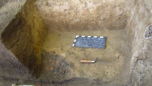
- (Before) The beginning stages of a fire pit from the Early Woodland/Meadowood period.

-

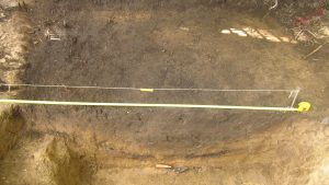
- (After) Final excavation of fire pit.
(Full sized images open in new window, click to enhance and view features!)
This site is interesting because it shows patterns of change through time in how local Native Americans used the landscape, in relation to changes in that landscape and proximity to the waters edge. In the earlier Archaic period, the camp is smaller and located closer to the water. People appear to have lived a seasonal existence and in smaller groups. The later Early Woodland features suggest that a more permanent structure was built in the area, farther back from the creek and its floodplain, on a more stable land surface. In the Meadowood fire pit there are remnants of ‘Cache blades’ or large bifacial tool blanks that were made in large numbers and traded widely outside of Western New York- throughout the Great Lakes area and beyond.
In the news
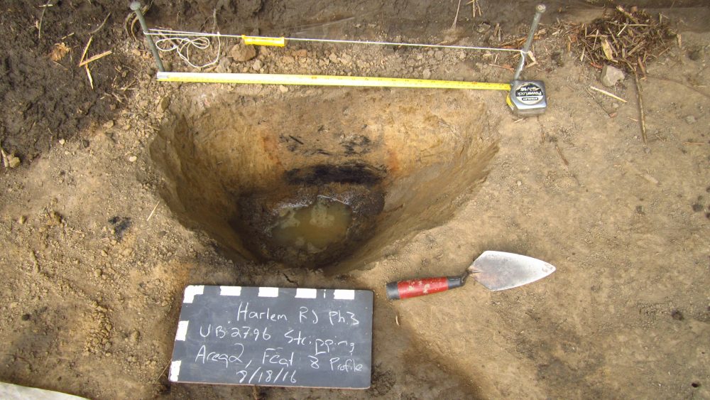
Stripping proccess in phase three.